

When shoveling your deck do not use a metal shovel – Plastic is ok, rubber tipped is better.

Hire a reputable moving company – Seriously, this is money well spent. You will thank yourself later. Hiring a company to move you will relieve so much stress on moving day. This is especially important if you are buying one house and selling another is a relatively short time span. You won’t have to beg friends and family to help, or deal with the stress of not having enough hands to get the job done in time. While someone else moves your belongings, you can be at your new house unpacking, or the old house cleaning up.

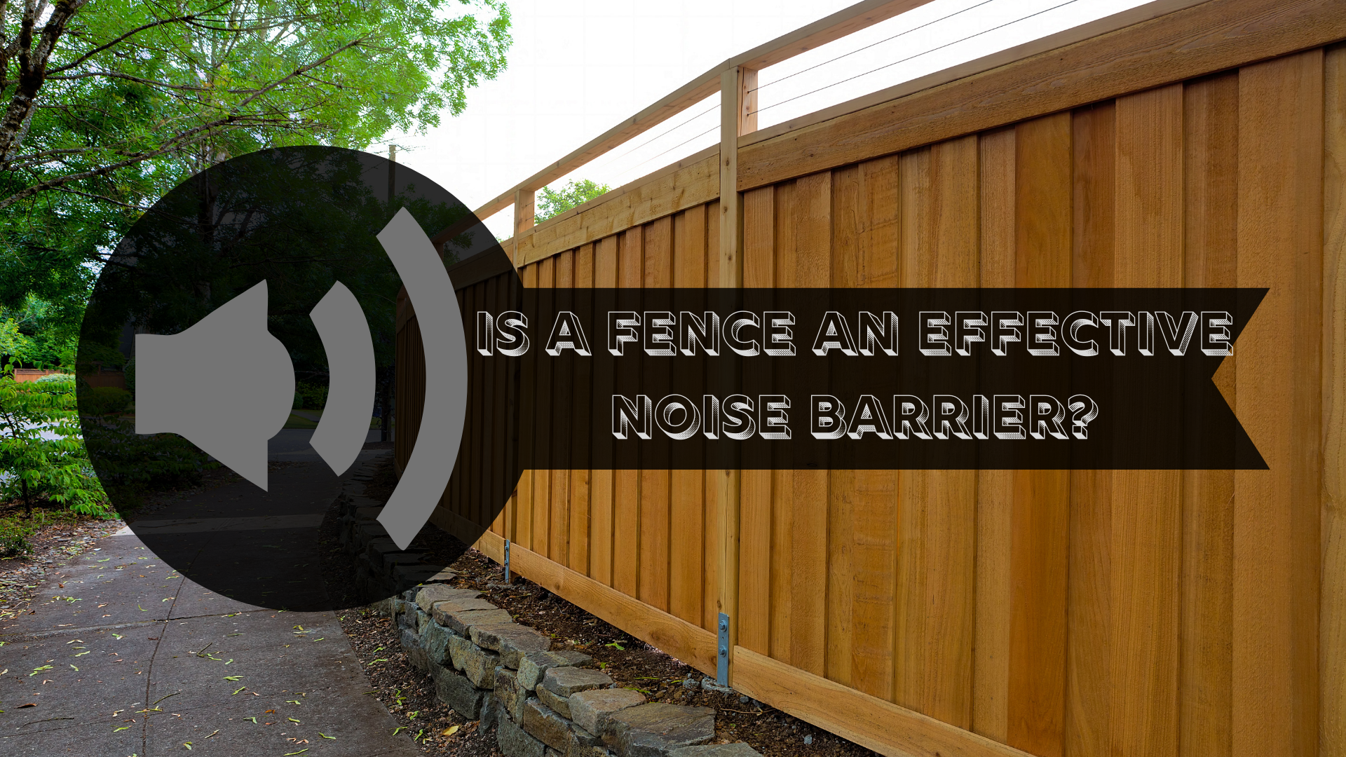
The more mass that the fence has, the better it will be at reflecting noises. Stone, brick, or concrete is the best material for the job. However, these options tend to be a little impractical for use in a residential setting. A more practical and cost-effective option is wood.

The warm weather is still here... for now. Here is a short list of maintenance tasks you may want to consider tackling yet this summer.

Just like bath bombs add a splash of color to your bathwater, seed bombs add a splash of color to your garden! You can buy them online or from a specialty store. They are also very easy to make!

Staining is probably the most popular option for fence coating. Stain is absorbed into the fence, so chipping does not occur like it does with painting. Another benefit to stain, is that you will still be able to see the lovely grain patterns that often get covered by paint products. Re-staining is less labor intensive because you will not need to remove the entire previous coatings.
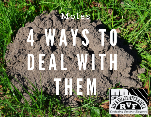
"But still, their tunnels close to the surface can be unsightly and make mowing more difficult. Additionally, mole tunnels can be high-jacked by other rodents that DO eat the roots of grass and plants."